

Most of us rarely question the accuracy of the GPS dot that shows our location on a map, a silent testament to the invisible network of satellites guiding our journeys. Yet, this seamless precision often dissolves the moment we step into the labyrinthine embrace of a bustling city. For those navigating unfamiliar urban landscapes with their smartphones, the experience can be disorienting, a frustrating dance of the GPS cursor leaping erratically from one point to another, even as we walk with steady resolve along a single, unwavering sidewalk. This stark discrepancy between perceived reality and digital representation highlights a fundamental challenge: cities are, in essence, brutal environments for satellite navigation.
This very problem is at the heart of the research conducted by Ardeshir Mohamadi, a doctoral fellow at the Norwegian University of Science and Technology (NTNU). Mohamadi’s work is dedicated to enhancing the precision of affordable GPS receivers, the kind embedded in our smartphones and fitness trackers, without recourse to prohibitively expensive external correction services. The stakes are particularly high when considering the burgeoning field of autonomous vehicles, where pinpoint accuracy is not merely a convenience, but an absolute prerequisite for safe and reliable operation.
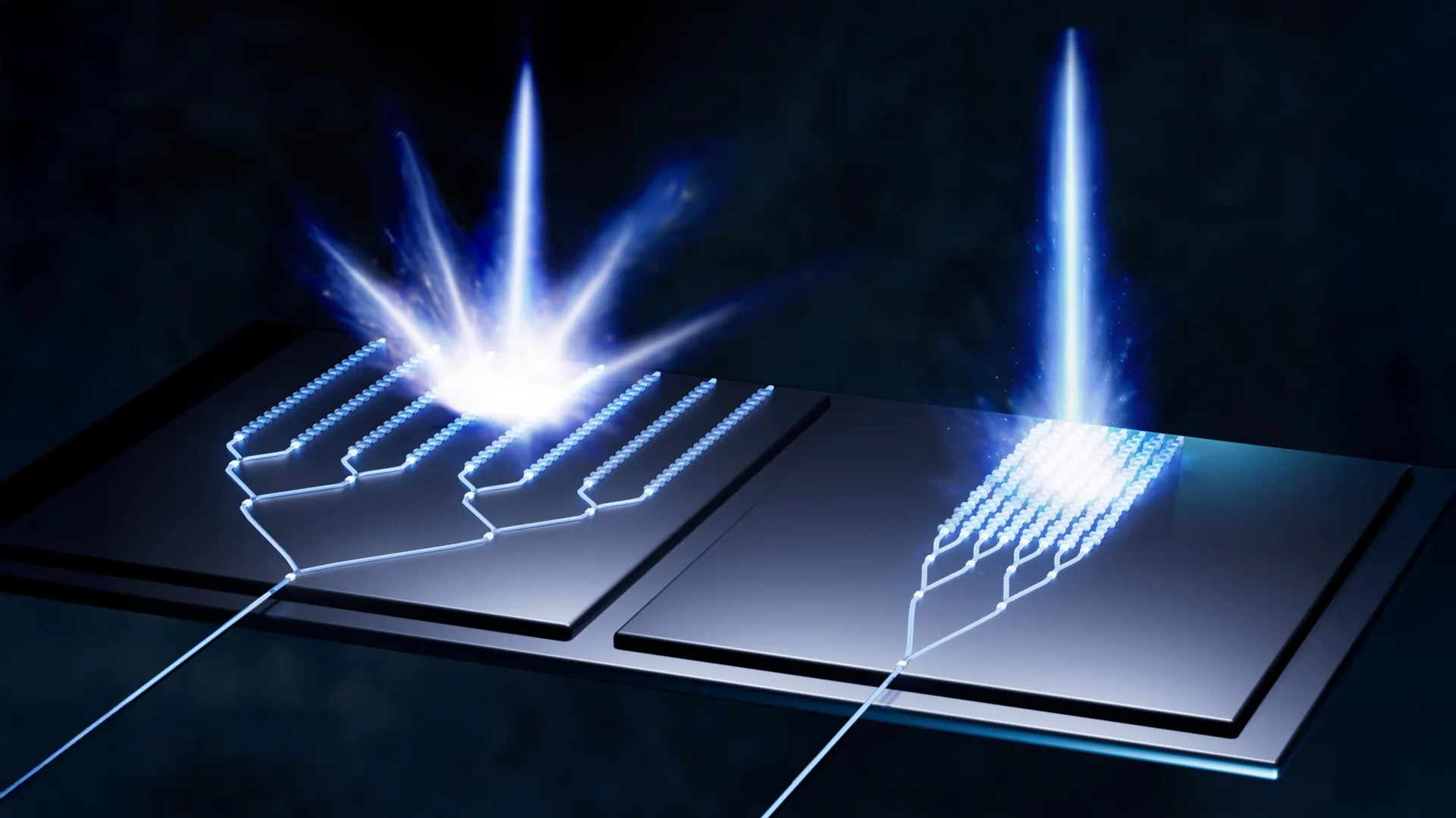
The culprit behind this urban GPS conundrum is a phenomenon colloquially known as "urban canyons." These are not geographical ravines, but rather the dense concentrations of tall buildings that characterize modern cities. As Mohamadi explains, "In cities, glass and concrete make satellite signals bounce back and forth. Tall buildings block the view, and what works perfectly on an open motorway is not so good when you enter a built-up area." The intricate interplay of reflections means that GPS signals, which normally travel in a straight line from satellite to receiver, are distorted. When a signal bounces off a building before reaching the receiver, it takes a longer path, introducing a delay. This delay directly impacts the receiver’s ability to accurately calculate its distance from the satellites, leading to significant positional inaccuracies. Imagine being at the bottom of a deep gorge, where the only light you perceive has bounced off the sheer canyon walls multiple times; this is analogous to how GPS signals behave in urban canyons. For autonomous vehicles, this ambiguity can be the difference between confident, decisive maneuvers and hesitant, unreliable driving. To combat this, Mohamadi and his team at NTNU have developed a novel system, christened "SmartNav," a sophisticated positioning technology meticulously engineered to conquer the challenges of "urban canyons."
The difficulties faced by GPS in cities extend beyond mere signal disruption. Even the signals that manage to penetrate the urban maze often lack the requisite precision for applications demanding exactitude. To overcome this, the NTNU researchers embarked on a quest to fuse multiple technologies, creating a synergistic system that corrects and refines the satellite signals. The culmination of their efforts is a computer program designed for seamless integration into the navigation systems of autonomous vehicles. Their breakthrough was significantly aided by a new service introduced by Google, a development that warrants a brief primer on how GPS itself functions.
At its core, the Global Positioning System (GPS) relies on a constellation of numerous small satellites orbiting the Earth. These satellites continuously transmit radio wave signals. A GPS receiver, such as the one in your phone or car, intercepts these signals. By receiving signals from at least four satellites, the receiver can triangulate its position. Each signal carries a coded message containing the satellite’s precise location and the exact time the signal was transmitted – akin to a timestamped dispatch from space.
The inherent flaw in urban environments lies in the integrity of this transmitted code. When signals bounce off buildings, the encoded information can become corrupted, leading to erroneous distance calculations. One of the initial avenues explored by the NTNU researchers was to bypass this potentially compromised code altogether. Instead, they investigated leveraging the intrinsic properties of the radio wave itself. Specifically, they focused on the "carrier phase" of the wave, which provides information about its direction of travel – whether it’s moving upwards or downwards as it reaches the receiver. Mohamadi notes that while using only the carrier phase can yield exceptionally high accuracy, it comes with a significant drawback: it is a time-intensive process. "You have to stay still until the calculation is good enough – not just a microsecond, but for several minutes," he explains, a duration entirely impractical for a moving receiver.
Recognizing the limitations of the carrier phase alone, the researchers explored other established methods for improving GPS accuracy. One such method involves utilizing ground-based reference stations, known as RTK (Real Time Kinematics). These stations broadcast correction data to GPS receivers, significantly enhancing their precision. However, RTK systems are typically expensive and designed for professional users, requiring the user to be within a certain proximity of a base station. A more advanced, yet still largely professional-grade, approach is PPP-RTK (Precise Point Positioning – Real-Time Kinematic). This technique merges precise correction data with satellite signals, and the European Galileo system now offers this capability with free broadcasts of its correction data. However, even with these advancements, a more comprehensive solution was still needed to truly democratize high-precision navigation in cities.
It was during this period of intensive research in Trondheim that Google unveiled a groundbreaking new service for its Android customers. Imagine planning a trip to a city like London. Upon opening Google Maps on your tablet, you input your hotel’s address. What follows is an immediate, immersive experience: you can zoom into the street-level view, meticulously examining the hotel’s facade and the surrounding architectural landscape, including the heights of adjacent buildings. Google has meticulously constructed 3D models of buildings in nearly 4,000 cities worldwide. This rich repository of geospatial data allows them to predict with remarkable accuracy how satellite signals will reflect and refract between urban structures. This predictive capability is key to solving the "wrong-side-of-the-street" problem, a common GPS anomaly where a user appears to be on the opposite side of the road from their actual location. Mohamadi highlights the power of this integration: "They combine data from sensors, Wi-Fi, mobile networks and 3D building models to produce smooth position estimates that can withstand errors caused by reflections."
The NTNU researchers ingeniously integrated these disparate correction systems with their own proprietary algorithms. The result was a formidable hybrid system. When put to the test on the streets of Trondheim, their combined approach delivered astounding results: an accuracy better than ten centimeters, achieved 90 percent of the time. This level of precision, Mohamadi asserts, is sufficient to provide reliable navigation in the most challenging urban environments.
Furthermore, the widespread adoption of PPP-RTK, now supported by systems like Galileo, promises to make this high-accuracy technology accessible to the general public. The affordability of this service is a critical factor in its potential for mass-market adoption. As Mohamadi concludes, "PPP-RTK reduces the need for dense networks of local base stations and expensive subscriptions, enabling cheap, large-scale implementation on mass-market receivers." The era of urban GPS frustration, it seems, is drawing to a close, ushering in an age of precise, dependable navigation for everyone.