

Most of us rarely question the accuracy of the GPS dot that shows our location on a map, a seemingly infallible digital guide in our increasingly connected world. Yet, the familiar comfort of this technology crumbles when navigating the labyrinthine streets of a new city. Suddenly, the once-steady blue dot begins to dance erratically, as if we are teleporting between adjacent lampposts while maintaining a perfectly straight path on foot. This perplexing phenomenon, where our digital representation of reality diverges from our physical experience, is a stark testament to the inherent limitations of GPS in dense urban environments.
"Cities are brutal for satellite navigation," explains Ardeshir Mohamadi, a doctoral fellow at the Norwegian University of Science and Technology (NTNU). His research is at the forefront of a critical challenge: making affordable GPS receivers, the kind embedded in our smartphones and fitness watches, significantly more precise without resorting to costly external correction services. This quest for enhanced accuracy is not merely an academic exercise; it holds profound implications for the future of transportation, particularly for the burgeoning field of autonomous vehicles. For self-driving cars to navigate bustling city streets safely and confidently, the precision of their positional data must transcend the inaccuracies plaguing conventional GPS.
The root of this urban navigation dilemma lies in what are commonly referred to as "urban canyons." These are not literal geological formations but rather the imposing structures of glass and concrete that define our cityscapes. Mohamadi elaborates, "In cities, glass and concrete make satellite signals bounce back and forth. Tall buildings block the view, and what works perfectly on an open motorway is not so good when you enter a built-up area." The very architecture that makes cities vibrant and dynamic creates a hostile environment for the delicate radio waves that GPS relies upon.
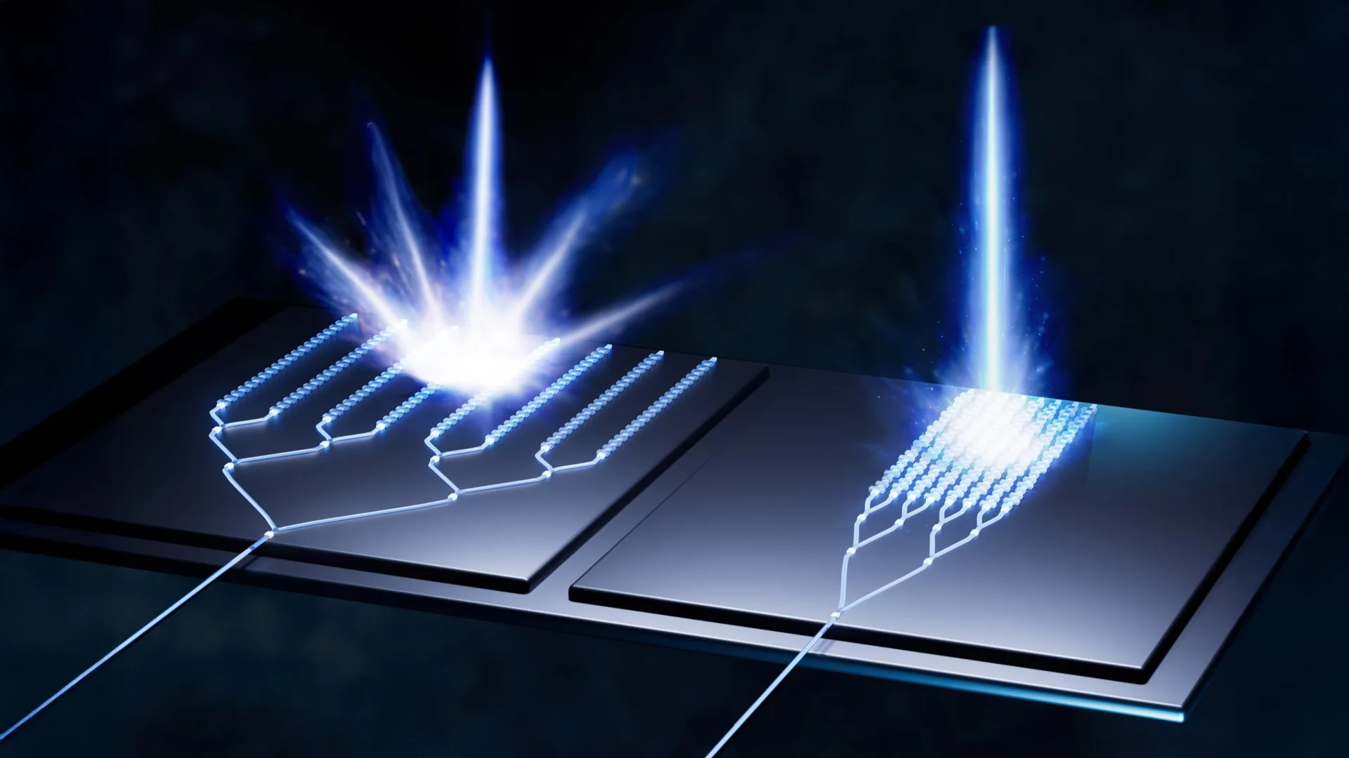
When GPS signals encounter these urban obstacles, they undergo a process of reflection. Instead of traveling directly from the satellite to the receiver, the signals ricochet off the surfaces of buildings, taking a circuitous and delayed path. This delay is the crux of the problem. The GPS receiver calculates its distance from a satellite based on the time it takes for the signal to arrive. When the signal has bounced, its journey is longer, leading the receiver to erroneously conclude it is further away from the satellite than it actually is. This miscalculation, repeated across multiple satellites, results in a significantly inaccurate positional fix. Mohamadi likens the experience to being at the bottom of a deep gorge, where signals are received only after multiple reflections from the sheer walls, distorting the perception of distance and direction. For autonomous vehicles, this imprecision can be the difference between smooth, predictable maneuvering and hesitant, unreliable driving, a critical distinction when passenger safety is paramount. To address this, Mohamadi and his team at NTNU have developed "SmartNav," a sophisticated positioning technology specifically engineered to overcome the challenges posed by these urban canyons.
Beyond the issue of signal reflection, even the signals that do manage to reach the receiver directly often lack the necessary precision for reliable urban navigation. Standard GPS, while adequate for open spaces, struggles to achieve the centimeter-level accuracy demanded by advanced applications. To tackle this multifaceted problem, the NTNU researchers have embarked on an ambitious journey of technological integration, combining several distinct approaches to refine and correct the GPS signal. The culmination of their efforts is a powerful computer program designed to be seamlessly integrated into the navigation systems of autonomous vehicles.
Before delving deeper into their innovative solution, a brief refresher on how GPS fundamentally operates is beneficial. The Global Positioning System (GPS) is a network of approximately 30 small satellites orbiting the Earth. These satellites continuously transmit radio wave signals containing vital information. A GPS receiver on the ground, such as the one in your smartphone, picks up these signals. By receiving signals from at least four satellites, the receiver can triangulate its position on Earth. Each satellite’s signal acts like a precise timestamped message, indicating its own location in space and the exact moment the signal was transmitted.
The problem in urban canyons arises because the code within these signals, which carries the positional information, can become corrupted due to reflections. The NTNU researchers explored a radical initial idea: what if they discarded the code altogether and instead focused on information embedded within the radio wave itself? One such piece of information is the "carrier phase" of the wave, which indicates whether the wave is traveling upwards or downwards when it reaches the receiver. Mohamadi explains that "using only the carrier phase can provide very high accuracy, but it takes time, which is not very practical when the receiver is moving." The limitation here is that precise carrier phase measurements require the receiver to remain stationary for an extended period, often several minutes, to achieve sufficient accuracy – a timescale entirely incompatible with a moving vehicle.
Recognizing the limitations of this approach, the researchers investigated other established methods for improving GPS accuracy. One common technique involves using Real-Time Kinematics (RTK). RTK systems employ ground-based reference stations that broadcast correction data to GPS receivers. This data helps to account for atmospheric delays and other errors, significantly boosting accuracy. However, RTK systems are typically expensive and require a network of base stations, making them primarily accessible to professional users and surveyors. Another advanced method is Precise Point Positioning with Real-Time Kinematic (PPP-RTK), which combines precise corrections broadcast from satellites with the inherent capabilities of the GPS receiver. The European Galileo system, for instance, now offers this service free of charge, making it more accessible.
However, the NTNU team found even more powerful allies in their quest for urban navigation precision. While they were diligently working in Trondheim, Google made a significant announcement that would prove instrumental to their research. Google launched a new service for its Android customers, leveraging its extensive 3D building models of cities. Imagine planning a trip to a new city, opening Google Maps on your device, and being able to meticulously examine the streetscape, even zooming in on the facades of buildings and noting their heights. Google has painstakingly created these detailed 3D models for nearly 4,000 cities worldwide.
The ingenious application of these models lies in their ability to predict how satellite signals will behave within the urban environment. By understanding the geometry and materials of buildings, Google’s algorithms can anticipate signal reflections and multipath effects. This predictive capability directly addresses the frustrating "wrong-side-of-the-street" problem, where a GPS signal’s inaccuracy might place you physically on one side of a road when you are actually on the other. Mohamadi highlights the synergy: "They combine data from sensors, Wi-Fi, mobile networks and 3D building models to produce smooth position estimates that can withstand errors caused by reflections."
This is where the NTNU researchers’ groundbreaking work truly shines. They were able to integrate these various correction systems – including the insights from Google’s 3D models and the advancements in PPP-RTK – with their own proprietary algorithms. The result is a robust and highly accurate positioning solution. When tested on the streets of Trondheim, their combined system achieved an astounding level of precision: better than ten centimeters accuracy 90 percent of the time. This is a level of reliability that is crucial for autonomous vehicles to navigate complex urban environments with confidence.
The implications of this breakthrough are far-reaching. The researchers assert that this level of precision is dependable for urban navigation. Furthermore, the utilization of PPP-RTK, coupled with the integration of readily available data like Google’s 3D models and the free broadcasts from systems like Galileo, makes this advanced technology accessible to the general public. Mohamadi concludes with optimism, stating, "PPP-RTK reduces the need for dense networks of local base stations and expensive subscriptions, enabling cheap, large-scale implementation on mass-market receivers." This means that the days of GPS faltering in city centers may soon be a thing of the past, ushering in an era of more reliable and ubiquitous location-based services for everyone.