

Most of us rarely question the accuracy of the GPS dot that shows our location on a map, yet when visiting a new city and using our phone to navigate, it can seem as if we are jumping from one spot to another, even though we are walking steadily along the same sidewalk. This frustrating experience, where the seemingly infallible satellite navigation system falters dramatically in urban environments, is a testament to the complex challenges posed by our modern metropolises. Ardeshir Mohamadi, a doctoral fellow at the Norwegian University of Science and Technology (NTNU), has been at the forefront of research aimed at rectifying this widespread issue, focusing on making affordable GPS receivers, like those found in our smartphones and fitness watches, significantly more precise without resorting to costly external correction services. The imperative for such high accuracy is particularly acute for the burgeoning field of autonomous vehicles, where even minor positional inaccuracies can have profound implications for safety and reliability.
The Perilous "Urban Canyons" and Their Signal Sabotage
Mohamadi and his dedicated team at NTNU have engineered a groundbreaking new system designed to empower autonomous vehicles to navigate the labyrinthine densities of city environments with unwavering safety. "Cities are brutal for satellite navigation," Mohamadi explains, a sentiment echoed by anyone who has experienced the erratic jumps of their navigation app amidst towering skyscrapers. The culprit, he elaborates, lies in the very fabric of urban construction: "In cities, glass and concrete make satellite signals bounce back and forth. Tall buildings block the view, and what works perfectly on an open motorway is not so good when you enter a built-up area."
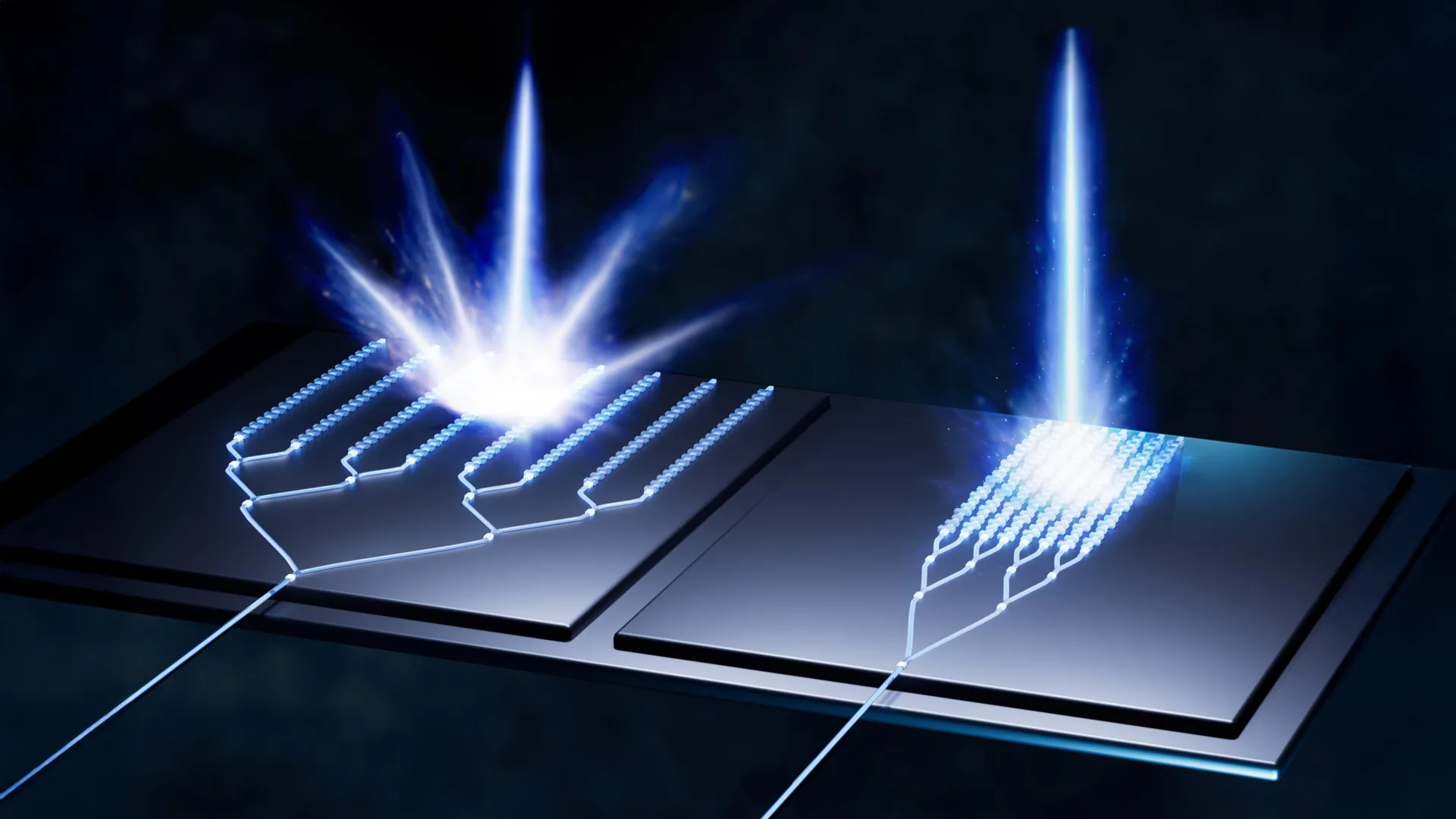
This phenomenon, where GPS signals are reflected and refracted by the urban landscape, creates what are known as "urban canyons." Imagine being at the bottom of a deep gorge; signals reach you only after a chaotic dance of multiple reflections off the canyon walls. For GPS receivers, this means that the signals arriving are not the direct, pristine transmissions from the satellites. Instead, they are delayed, having traveled a longer, indirect path. This delay throws off the fundamental calculation of distance to the satellites, the very foundation upon which GPS positioning is built, leading to a reported position that is wildly inaccurate. The consequences for autonomous vehicles are stark: "For autonomous vehicles, this makes the difference between confident, safe behavior and hesitant, unreliable driving," Mohamadi emphasizes. "That is why we developed SmartNav, a type of positioning technology designed for ‘urban canyons’."
Beyond the Code: Unlocking Centimeter-Level Precision
The disruption in cities isn’t limited to signal reflections; even the signals that do manage to reach the receiver directly may lack the inherent precision required for critical applications. Standard GPS, while adequate for casual navigation, often falls short when pinpoint accuracy is paramount. To address this dual challenge, the NTNU researchers embarked on a mission to combine multiple sophisticated technologies, weaving them together with advanced algorithms to create a robust correction system. The ultimate output is a sophisticated computer program, poised for seamless integration into the navigation systems of autonomous vehicles.
Before delving deeper into their innovative solution, a brief refresher on how GPS fundamentally operates is illuminating. The Global Positioning System (GPS) relies on a constellation of numerous small satellites orbiting the Earth. These satellites continuously transmit radio wave signals, each carrying a unique message. This message contains crucial information: the satellite’s precise orbital position and the exact time the signal was transmitted. A GPS receiver on the ground, be it in a smartphone or a car, listens for these signals. By receiving signals from at least four satellites, the receiver can triangulate its position on Earth. The time stamp within each signal is critical; by comparing the transmission time with the reception time, the receiver calculates the distance to each satellite, and thus its own location.
The core problem in urban canyons is that this crucial time stamp, encoded within the signal, is often corrupted by the bouncing of radio waves. The NTNU researchers explored a radical initial approach: what if they could bypass the problematic code altogether? Their first avenue of investigation involved focusing solely on information embedded within the radio wave itself, specifically its "carrier phase." This refers to the wave’s direction of travel – whether it’s propagating upwards or downwards as it reaches the receiver. "Using only the carrier phase can provide very high accuracy," Mohamadi notes, "but it takes time, which is not very practical when the receiver is moving." The limitation here is significant: to achieve sufficient accuracy using only the carrier phase, the receiver would need to remain stationary for several minutes, a timeframe utterly incompatible with dynamic navigation, especially for moving vehicles.
Leveraging Existing Technologies and a Helping Hand from Google
Recognizing the limitations of relying solely on carrier phase information, the researchers turned their attention to other established methods for enhancing GPS accuracy. One such method is Real-Time Kinematic (RTK), which employs a network of ground-based reference stations. These stations, equipped with highly precise positioning data, broadcast correction signals to nearby GPS receivers. RTK works effectively within the vicinity of these stations, but its reliance on a dense network of expensive infrastructure makes it prohibitively costly for widespread public adoption, confining it largely to professional surveying and high-end applications.
A more advanced, yet still often costly, alternative is Precise Point Positioning – Real-Time Kinematic (PPP-RTK). This approach combines precise positioning corrections broadcast from a single, widely accessible source with satellite signals. The European Galileo system, for instance, now offers this service with free-of-charge corrections, making it a more accessible option. However, even with these advancements, the unique challenges of urban canyons persisted.
The breakthrough came with the realization that an unexpected ally could provide a crucial piece of the puzzle: Google. While the NTNU team was diligently working on their sophisticated algorithms, Google had been making significant strides in its mapping capabilities. For Android users, Google had launched a new service that revolutionized how navigation apps function in complex environments. Imagine planning a trip to a new city like London. When you open Google Maps and enter your hotel’s address, you can now zoom in and meticulously study the street-level environment, observe the architectural details of buildings, and even gauge their heights. This is because Google has been diligently constructing detailed 3D models of buildings in thousands of cities worldwide.
Google leverages these 3D models to predict precisely how satellite signals will interact with the urban landscape – how they will reflect, refract, and be attenuated by the towering structures. This predictive power allows the mapping application to anticipate and compensate for the signal distortions that plague traditional GPS. The result is a far more stable and accurate representation of your location, effectively solving the perplexing problem of appearing to walk on the wrong side of the street, or even miles away from your actual position, as can happen with conventional GPS in dense urban areas. "They combine data from sensors, Wi-Fi, mobile networks and 3D building models to produce smooth position estimates that can withstand errors caused by reflections," Mohamadi explains, highlighting the synergy between Google’s contextual understanding of urban environments and their own signal processing expertise.
A Symphony of Data for Unprecedented Precision
The NTNU researchers were now able to integrate their own sophisticated algorithms with this rich tapestry of data sources – the corrected satellite signals from PPP-RTK, the contextual information derived from Google’s 3D building models, and data from other onboard sensors like accelerometers and gyroscopes. When they rigorously tested this integrated system on the streets of Trondheim, the results were nothing short of remarkable. They consistently achieved an accuracy better than ten centimeters, 90 percent of the time. This level of precision is a game-changer for urban navigation.
The implications of this achievement are profound. For autonomous vehicles, this "precision you can rely on" means the difference between navigating complex intersections with confidence and potentially causing accidents due to positional uncertainty. For everyday users, it promises an end to the frustrating inaccuracies that have long plagued smartphone navigation in cities. Furthermore, the researchers’ embrace of PPP-RTK, combined with their innovative algorithms, makes this advanced technology accessible to the general public. "PPP-RTK reduces the need for dense networks of local base stations and expensive subscriptions, enabling cheap, large-scale implementation on mass-market receivers," Mohamadi concludes with optimism. This breakthrough signals a future where accurate, reliable navigation in even the most challenging urban environments is no longer a luxury, but a standard feature.