

Most of us rarely question the accuracy of the GPS dot that shows our location on a map, a seemingly magical beacon guiding us through our daily lives. Yet, this digital oracle falters dramatically in the concrete jungles of our cities. When venturing into a new urban landscape, the familiar blue dot on our navigation app can transform into a jittery phantom, leaping erratically across the screen as we walk steadily along a perfectly defined sidewalk. This disorienting experience, where our perceived location seems to defy our actual movement, is a testament to the inherent challenges that dense urban environments pose to satellite navigation.
Ardeshir Mohamadi, a dedicated doctoral fellow at the Norwegian University of Science and Technology (NTNU), has made it his mission to unravel and overcome these urban navigation enigmas. His research focuses on a crucial, yet often overlooked, aspect of modern technology: enhancing the precision of affordable GPS receivers, the kind seamlessly integrated into our smartphones and fitness trackers, without resorting to costly external correction services. This pursuit of hyper-accuracy is not merely an academic exercise; it is a vital prerequisite for the safe and efficient operation of autonomous vehicles, the self-driving cars poised to revolutionize transportation.
The culprit behind this navigational breakdown in cities is a phenomenon aptly termed "urban canyons." These are not literal geological formations, but rather the imposing landscapes sculpted by towering skyscrapers and a dense network of glass and concrete structures. These architectural giants create a chaotic symphony of signal interference. As Mohamadi explains, "Cities are brutal for satellite navigation." The very materials that define our urban environments – reflective glass and solid concrete – conspire to disrupt the delicate dance of satellite signals. These signals, which travel unimpeded across vast open spaces, are forced to contend with a barrage of reflections and blockages within the city.
When GPS signals encounter these urban obstacles, they don’t simply cease to exist. Instead, they bounce erratically off the facades of buildings, ricocheting from one structure to another before eventually reaching the receiver. This multi-path effect, where signals arrive via multiple reflected paths, introduces significant delays. Each reflection adds a fraction of a second to the signal’s journey, and even these minuscule discrepancies throw off the receiver’s fundamental calculation of its distance from the satellites. Since the receiver determines its position by triangulating its distance from at least four satellites, any inaccuracy in these distance measurements directly translates to an inaccurate reported position. It’s akin to trying to pinpoint your location in a vast, echoing canyon where sounds bounce back and forth, making it difficult to discern the true source.
For autonomous vehicles, this positional uncertainty is not just an inconvenience; it’s a critical safety concern. "For autonomous vehicles, this makes the difference between confident, safe behavior and hesitant, unreliable driving," Mohamadi emphasizes. A self-driving car that hesitates or makes incorrect directional choices due to inaccurate positioning is a significant liability. Recognizing this pressing need, Mohamadi and his team at NTNU developed "SmartNav," a sophisticated positioning technology specifically engineered to navigate the treacherous terrain of urban canyons.
The problem, however, extends beyond mere signal reflection. Even the signals that do manage to reach the receiver without excessive reflection often lack the inherent precision required for critical applications like autonomous driving. Standard GPS, while adequate for general navigation, typically provides accuracy within several meters. For a self-driving car needing to navigate lane boundaries or precisely park, this level of precision is woefully insufficient. The goal, therefore, is to achieve accuracy down to the centimeter level, a feat that requires a more robust and intelligent approach to signal processing.
To tackle this dual challenge of signal disruption and insufficient precision, the NTNU researchers embarked on an ambitious project to combine multiple disparate technologies. Their endeavor culminated in the creation of a sophisticated computer program designed to be seamlessly integrated into the navigation systems of autonomous vehicles. This innovative solution leverages the strengths of various positioning techniques, creating a synergistic effect that overcomes the limitations of individual methods.
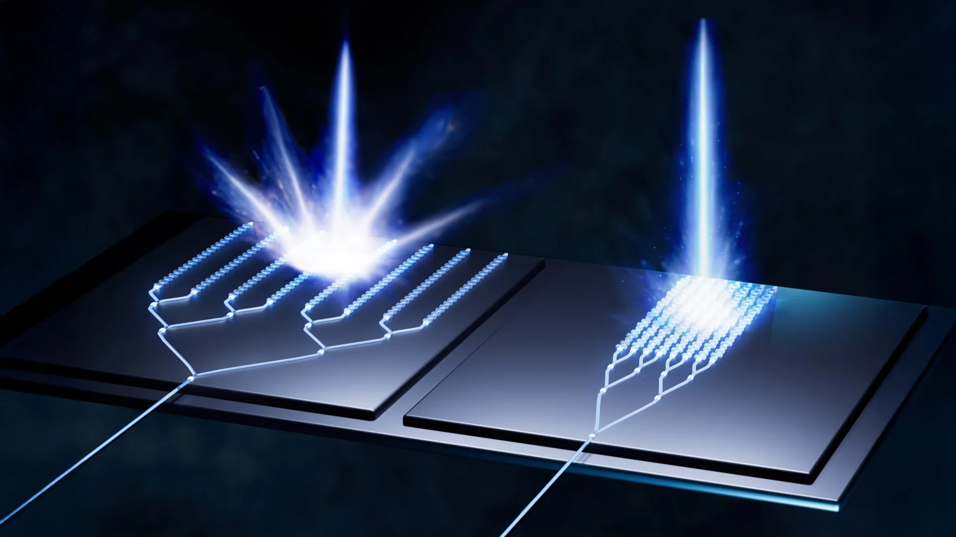
Before delving deeper into their groundbreaking solution, a brief refresher on how GPS fundamentally works is beneficial. The Global Positioning System (GPS) relies on a constellation of approximately 30 small satellites orbiting the Earth. These satellites continuously transmit radio wave signals, each containing a precise timestamp and information about the satellite’s orbital position. A GPS receiver, whether in your smartphone or an autonomous vehicle, picks up these signals. By receiving signals from at least four satellites, the receiver can calculate its distance from each of them. The intersection of these calculated distances then pinpoints the receiver’s exact location on Earth. The timestamp within the signal is crucial; the time it takes for the signal to travel from the satellite to the receiver allows for a distance calculation.
The primary issue in urban canyons is that the timestamp embedded within the signal can become corrupted due to reflections. The first avenue of investigation for the NTNU researchers was to explore ways to bypass this unreliable timestamp. They considered dropping the encoded time information altogether and instead focusing on the intrinsic properties of the radio wave itself. This involves analyzing the "carrier phase" of the wave, which essentially describes its instantaneous amplitude and phase. "Using only the carrier phase can provide very high accuracy, but it takes time, which is not very practical when the receiver is moving," Mohamadi explains. The challenge here is that accurately determining the carrier phase requires the receiver to remain stationary for an extended period, sometimes several minutes, to achieve sufficient precision. This is clearly impractical for a moving vehicle.
While the carrier phase approach proved too slow, other methods for improving GPS accuracy exist. One established technique involves using Real-Time Kinematic (RTK) systems. RTK utilizes a network of ground-based reference stations that broadcast correction data to nearby GPS receivers. This correction data helps to significantly enhance positional accuracy. However, RTK systems are typically expensive to deploy and maintain, making them primarily the domain of professional surveyors and specialized applications. Their widespread adoption for general consumer use, including autonomous vehicles, is hampered by their high cost.
A more advanced, yet still often costly, alternative is Precise Point Positioning with Real-Time Kinematic (PPP-RTK). This technique combines precise corrections with satellite signals, offering improved accuracy without the need for a dense network of local base stations. The European Galileo system, for instance, now offers free PPP-RTK corrections, making this technology more accessible. However, even with these advancements, integrating and refining these correction signals within a challenging urban environment remained a significant hurdle.
It was at this juncture that the NTNU researchers found an unexpected but powerful ally: Google. While the team in Trondheim was diligently working on their advanced algorithms, Google was simultaneously developing a revolutionary service for its Android customers. Imagine planning a trip to a foreign city like London. You might open Google Maps on your tablet and meticulously study the street view, zooming in to examine the hotel’s facade and the height of surrounding buildings. Google had been amassing an impressive database of 3D building models for nearly 4,000 cities worldwide. This extensive library of detailed urban geometries provided a unique opportunity to predict how satellite signals would interact with the urban landscape.
Google’s innovative approach uses these 3D building models to simulate and predict signal reflections. By understanding the precise shape and height of buildings, the system can anticipate where signals are likely to bounce and how they will be distorted. This predictive capability is crucial for overcoming the "wrong-side-of-the-street" problem, a common GPS anomaly where a user appears to be located on the opposite side of a road from their actual position. "They combine data from sensors, Wi-Fi, mobile networks and 3D building models to produce smooth position estimates that can withstand errors caused by reflections," Mohamadi states, highlighting the multi-faceted nature of Google’s solution.
The true breakthrough for the NTNU team came with the ability to integrate their own sophisticated algorithms with the rich data provided by Google’s 3D models and the emerging PPP-RTK corrections. They developed a system that could intelligently fuse information from various sources: the raw satellite signals, the precise corrections from PPP-RTK, and the contextual understanding of the urban environment derived from Google’s building data and other sensor inputs like Wi-Fi and cellular signals.
When they rigorously tested this integrated system on the streets of Trondheim, the results were nothing short of remarkable. They achieved an astonishing accuracy of better than ten centimeters 90 percent of the time. This level of precision is a game-changer for urban navigation. It means that autonomous vehicles can confidently identify lane boundaries, navigate complex intersections, and perform delicate maneuvers with a reliability previously thought unattainable in dense city environments.
The researchers are confident that this level of accuracy is sufficient to build navigation systems that drivers, both human and artificial, can truly rely upon. Furthermore, the adoption of PPP-RTK technology, now bolstered by Google’s urban intelligence, promises to democratize high-precision navigation. "PPP-RTK reduces the need for dense networks of local base stations and expensive subscriptions, enabling cheap, large-scale implementation on mass-market receivers," Mohamadi concludes. This means that the future of precise urban navigation, once the exclusive domain of expensive professional equipment, is now within reach for the general public, paving the way for safer, more efficient, and more reliable transportation systems in our increasingly complex cities.