

Most of us rarely question the accuracy of the GPS dot that shows our location on a map, but the reality is far more complex, especially when navigating the concrete jungles of our cities. The seemingly simple act of walking down a familiar street can transform into a disorienting dance of digital jumps and inaccuracies, leaving us questioning if our phones are truly in sync with our physical presence. This jarring experience, where a steady stride on a sidewalk translates into erratic movements on a digital map, is a testament to the fundamental challenges that GPS technology faces in urban environments. Ardeshir Mohamadi, a doctoral fellow at the Norwegian University of Science and Technology (NTNU), encapsulates this struggle with a stark declaration: "Cities are brutal for satellite navigation." His research, focused on enhancing the precision of affordable GPS receivers found in everyday devices like smartphones and fitness watches, aims to overcome these limitations without resorting to costly external correction services. The stakes are particularly high for the burgeoning field of autonomous vehicles, where pinpoint accuracy is not merely a convenience but a critical prerequisite for safe and reliable operation.
The core of the problem lies in what Mohamadi and his team refer to as "urban canyons." These are not metaphorical valleys but literal environments created by the towering skyscrapers and dense architecture of modern cities. The very materials that define these urban landscapes – glass and concrete – create a hostile environment for satellite signals. Tall buildings act as formidable barriers, obstructing direct lines of sight to the GPS satellites orbiting far above. What functions flawlessly on an open, unobstructed motorway becomes a precarious endeavor when entering a built-up area. The issue is not merely signal blockage but also signal reflection. When GPS signals encounter the hard surfaces of buildings, they bounce back and forth, a phenomenon akin to echoes in a deep gorge. These reflected signals travel longer paths to reach the receiver, introducing delays that corrupt the receiver’s calculations of its distance to the satellites. This temporal distortion directly translates into spatial inaccuracies, leading to the disconcerting sensation of jumping between locations on a map. For autonomous vehicles, these inaccuracies are not just inconvenient; they represent the difference between confident, safe navigation and hesitant, unreliable driving. It is this critical need for robust urban navigation that has driven the development of "SmartNav," a specialized positioning technology engineered to tackle the unique challenges of urban canyons.
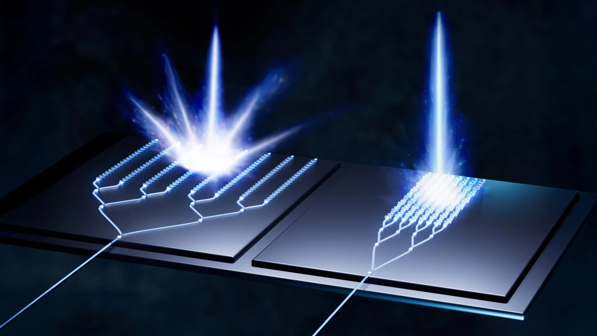
Beyond the issue of reflected signals, even the direct satellite signals that do manage to penetrate the urban labyrinth often lack the necessary precision for reliable navigation. The NTNU researchers have ingeniously tackled this multifaceted problem by developing a sophisticated system that integrates several distinct technologies to correct the corrupted satellite signals. The culmination of their efforts is a computer program designed for seamless integration into the navigation systems of autonomous vehicles. To understand the ingenuity of their solution, it’s essential to grasp the fundamental principles of how GPS operates. The Global Positioning System (GPS) relies on a constellation of small satellites orbiting the Earth, each transmitting radio wave signals. A GPS receiver, such as the one in your smartphone, picks up these signals. By receiving signals from at least four satellites, the receiver can triangulate its position. Each satellite signal contains a crucial piece of information: a code indicating the satellite’s precise location and the exact time the signal was transmitted. Think of it as a timestamped message from space.
The problem in urban environments is that these vital timestamped codes are frequently distorted or rendered unreliable by the signal reflections. Mohamadi and his team explored an initial approach of discarding the problematic code altogether and instead focusing on information derived directly from the radio wave itself. This method involves analyzing the "carrier phase" of the wave, which essentially indicates the wave’s direction of travel – whether it’s moving upwards or downwards as it reaches the receiver. While analyzing the carrier phase can theoretically yield extremely high accuracy, its practical application is hindered by its time-consuming nature. The receiver needs to remain stationary for an extended period, often several minutes, to gather sufficient data for a precise calculation. This requirement renders it impractical for receivers that are in constant motion, such as those in vehicles.
Recognizing the limitations of solely relying on carrier phase analysis, the researchers turned their attention to other established methods of enhancing GPS accuracy. One such method is Real-Time Kinematics (RTK), which utilizes a network of ground-based reference stations to provide real-time corrections to GPS signals. RTK offers impressive accuracy but is typically limited to areas within the vicinity of these expensive base stations, making it a solution primarily for professional users with significant financial resources. A more advanced, yet still professional-oriented, approach is Precise Point Positioning – Real-Time Kinematic (PPP-RTK). This technique combines precise correction data with satellite signals and is supported by systems like the European Galileo, which broadcasts its correction data free of charge. However, even these advanced solutions presented challenges for widespread adoption in consumer devices.
The breakthrough in making highly accurate GPS accessible to the general public arrived with an unexpected ally: Google. While the NTNU researchers were diligently refining their algorithms, Google launched a novel service for its Android users. Imagine planning a trip to a new city and opening Google Maps. You input your hotel’s address, and the app immediately allows you to zoom in, examining the street-level view, the architectural details of buildings, and even their heights. Google has meticulously constructed 3D models of buildings in thousands of cities worldwide. They leverage these detailed models to predict how satellite signals will interact with the urban landscape, specifically how they will reflect off buildings. This predictive capability is revolutionary for solving the "wrong-side-of-the-street" problem, where users might be shown on the opposite side of the road from their actual location due to signal reflections. Mohamadi elaborates that Google’s innovation lies in its ability to "combine data from sensors, Wi-Fi, mobile networks and 3D building models to produce smooth position estimates that can withstand errors caused by reflections."
This is where the brilliance of the NTNU researchers’ work truly shines. They were able to integrate their own advanced algorithms with this wealth of data and correction systems. The result is a powerful synergy that significantly elevates GPS accuracy in challenging urban environments. When tested in the streets of Trondheim, their combined system achieved an astonishing accuracy of better than ten centimeters in 90 percent of cases. This level of precision is not merely an improvement; it represents a fundamental shift, providing a level of reliability that was previously unattainable for mass-market GPS receivers in cities.
The widespread accessibility of this enhanced GPS technology is further bolstered by the inherent affordability of PPP-RTK. As Mohamadi concludes, "PPP-RTK reduces the need for dense networks of local base stations and expensive subscriptions, enabling cheap, large-scale implementation on mass-market receivers." This development promises a future where the frustrating GPS inaccuracies in our cities become a relic of the past, paving the way for smoother, safer, and more reliable navigation for everyone, from daily commuters to the autonomous vehicles of tomorrow. The urban canyon, once a formidable obstacle for satellite navigation, has been brilliantly conquered through a harmonious blend of scientific ingenuity, technological advancement, and the strategic leveraging of readily available data.